Simulating Use of LEO Satellites to Extend NB-IoT Coverage to Rural Areas
As IoT devices expand into remote and rural environments, maintaining reliable connectivity beyond the limits of terrestrial 5G becomes essential. This presentation shows how Remcom’s Wireless InSite ray-tracing software can accurately model and overcome these coverage gaps by integrating low Earth orbit (LEO) satellite links with existing NB-IoT networks. Using detailed simulations of rugged terrain, atmospheric effects, and satellite elevation angles, the study demonstrates how LEO augmentation dramatically improves signal quality, coverage reliability, and throughput—often doubling performance in underserved areas. The results highlight the powerful role of NTN-enabled 5G in delivering seamless, wide-area IoT connectivity and showcase Remcom’s advanced tools for evaluating next-generation hybrid communication systems.
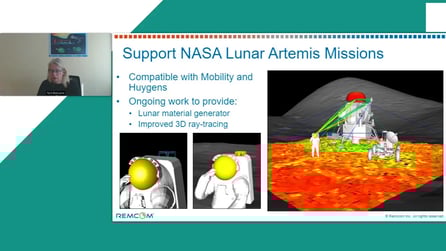
Future Opportunities
Remcom is devoting research and development to leverage the Cesium ion™ platform for interactive visualization of Wireless InSite’s ray-tracing in order to better analyze satellite-to-ground RF simulation. Cesium ion is a platform for visualizing 3D geospatial data. Combined with Wireless InSite’s dynamic scenario modeling, users will be able to model wireless coverage and multipath between moving antennas on the ground and satellites in space.
To learn more, please request additional details from our sales team using the following form.